

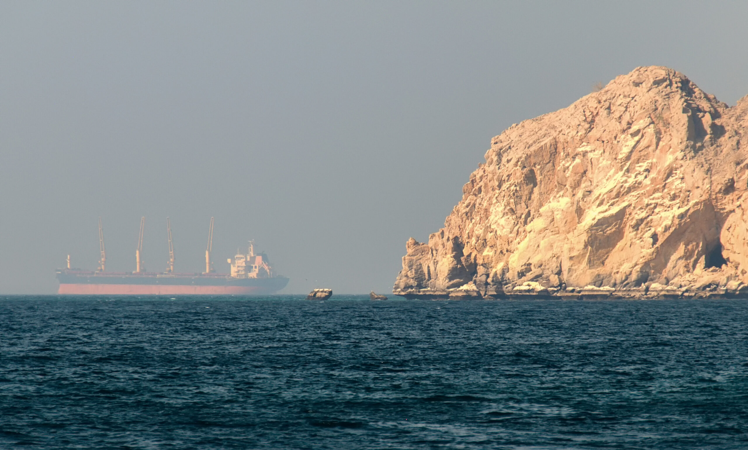
Rising GPS Interference Across the Middle East Prompts UKMTO Warning
Maritime authorities are warning ship operators to be alert to a sharp rise in GPS and electronic navigation interference across key Middle Eastern waterways, including the Strait of Hormuz, Port Sudan, and the Suez Canal.
According to the UK Maritime Trade Operations (UKMTO), multiple vessels have reported Global Navigation Satellite System (GNSS) disruptions between 3 and 7 October, marking a significant increase compared to previous weeks. The interference has led to widespread anomalies in AIS speed data and inconsistent positional readings across several high-traffic zones.
The incidents highlight growing concerns about electronic warfare and navigational spoofing risks in one of the world’s most strategically important maritime regions.
Affected Areas
The latest UKMTO advisory notes concentrated interference in and around:
• Bandar-e-Pars, on Iran’s southern coast
• The Strait of Hormuz, a critical chokepoint for global energy shipments
• Port Sudan, along the western Red Sea
• Broader Gulf waters and the Suez Canal corridor
Reports describe repeated “AIS speed anomalies” and erratic vessel data patterns, suggesting spoofed or degraded GNSS signals. These disruptions can cause vessels to display incorrect speeds or positions, creating confusion in congested waterways and raising the risk of navigation errors or collisions.
Regional Impact and Response
The situation prompted a temporary and unprecedented response from Qatar, which suspended all maritime navigation activities on 4 October due to safety concerns linked to unreliable GPS readings. The country’s Ministry of Transport attributed the issue to a “technical fault” and lifted the daylight navigation restrictions two days later, on 6 October.
The UKMTO has reiterated previous guidance issued by the Joint Maritime Information Center (JMIC) earlier this year, emphasizing the need for heightened situational awareness and manual navigation discipline.
Guidance for Masters and Operators
Ship Masters and CSOs are advised to take immediate precautionary steps when transiting affected regions:
1. Maintain Vigilant Watchstanding
• Recognize and monitor signs of GNSS interference or AIS inconsistencies.
• Cross-check positions manually using radar, visual bearings, and ECDIS overlays.
• Do not rely exclusively on autopilot or electronic navigation inputs.
2. Record and Report Incidents
• If interference is detected, log precise times, coordinates, and observed effects.
• Include photographic or video evidence of navigation displays where possible.
• Submit detailed reports promptly to UKMTO.
3. Review Navigation Redundancy
• Ensure all bridge teams are trained to revert to manual navigation methods.
• Verify availability of paper charts, compasses, and alternative positioning systems.
• Maintain continuous bridge watch and frequent position verification.
The recurrence of electronic interference in Middle Eastern waters follows a pattern of increasing GNSS manipulation and signal spoofing incidents globally. Whether linked to technical faults, deliberate jamming, or geopolitical factors, the effect is the same — compromised navigational integrity and heightened operational risk.
With the Strait of Hormuz handling nearly a fifth of global oil exports, even temporary GPS disruption poses a serious challenge to commercial shipping safety and efficiency.
Mariners are urged to remain alert, report anomalies, and reinforce manual navigation competence until regional stability improves.
At Priavo Security, we continue to monitor developments in electronic interference and maritime cyber risk across high-threat regions.
Our operations team provides real-time voyage risk assessments, bridge team training, and navigational resilience planning to help operators mitigate the impact of GPS disruption.
For tailored support or to discuss current conditions in the Gulf and Red Sea, contact enquiries@priavosecurity.com or visit www.priavosecurity.com.